Search results for: 'Road and rail map of North Wales'
- Related search terms
- map sets
- map of europe 1914
- Map of europe 1919
- map set
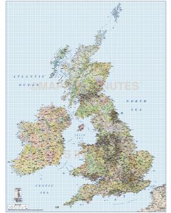
- map of louis lincolnshire uk
-
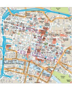
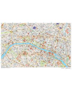 Paris city map in Illustrator CS or PDF formatSpecial Price £250.00 Regular Price £300.00
 -
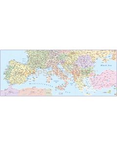
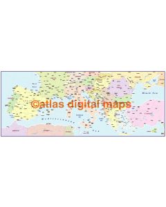
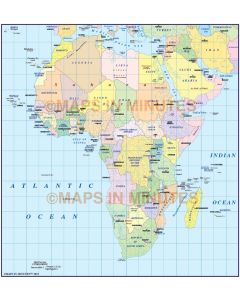
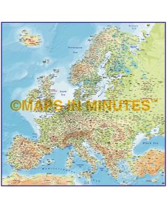
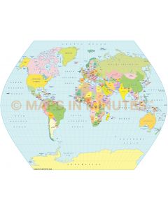
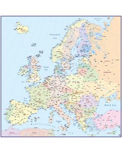 Europe Map, Political Basic in Illustrator Vector formatSpecial Price £59.00 Regular Price £69.00
 -
-
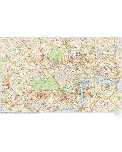
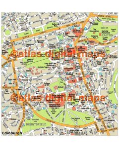
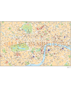 London Basic city map in Illustrator CS or PDF formatSpecial Price £70.00 Regular Price £125.00
 -
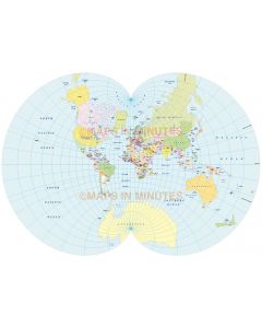
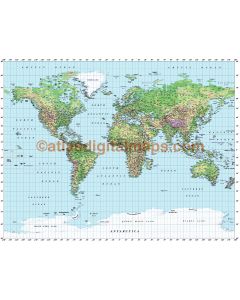
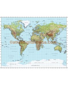 Gall World Political Vector plus Relief Map Light colouringSpecial Price £130.00 Regular Price £175.00
 -
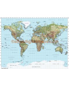
 Gall World Political Vector plus Relief Map Regular colouringSpecial Price £125.00 Regular Price £175.00
 -
 Gall World Political Relief Map in Medium coloursSpecial Price £125.00 Regular Price £175.00
 -
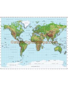 Gall World Political Vector plus Relief Map Strong colouringSpecial Price £125.00 Regular Price £175.00
 -
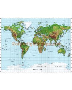 Gall World Political Vector plus Relief Map Extra Strong colouringSpecial Price £125.00 Regular Price £175.00