Digital Map Products

Buy Online Highest Quality Digital Map Products in Adobe Illustrator Vector Format
For 30 years, MAPS IN MINUTES and Atlas Digital Maps original brand of creative editable digital maps has been used by our customers worldwide.
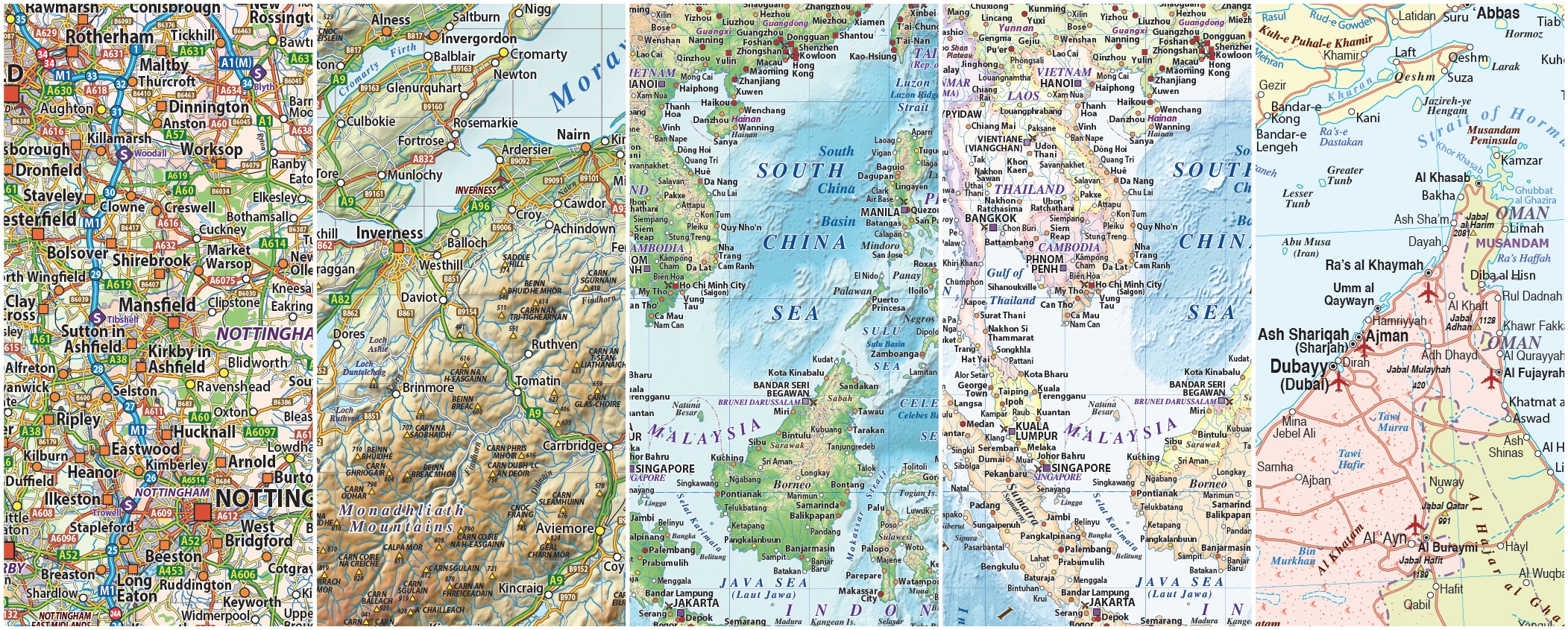
Our eye-catching, highly detailed and accurate quality digital maps are ideal for business, education, advertising, television, film and government bodies.
We also licence our digital maps for manufacturers of posters and printed map productions up to wall size, please contact us to discuss.
Our digital maps are up-to-date and are offered in a wide range of styles and colours. Our maps are fully layered allowing easy map production by
choosing the map elements you need in just a few clicks. Illustrator vector format ensures perfect printed lines whatever size you use them.
All of our digital vector maps are 100% editable in colour, fonts and styling. You can use our maps as they are or modify them as you wish.
Maps come in all sizes, small scale maps can be used from A5 up to A3, medium scale for use from A4 to A3+, and large scale can be from Poster size
up to Wall size.
We sell all our maps in Adobe Illustrator CS6 format as CS6 is still in use by users who do not wish to move to the new Adobe Subscription version.
Users of Illustrator CC can open and use our CS6 format maps.
PDF versions can be bought on request and if you are using an earlier version, such as CS5 we can also supply those on request
We have organised our large selection of Digital Map Products into easy-to-use site navigation using Categories and Sub-Categories covering the following:
British Isles/UK Maps
British Isles/UK map sub-categories offer a comprehensive selection of complete 2022 British Isles/UK maps in a range of sizes to suit most needs, available
with a choice of County, road and rail maps with political and/or relief options. Our British Isles maps are created using the latest Ordnance Survey data
and are incredibly accurate.
There is a wide selection of UK regional map sub-categories for Scotland, North England, Central England, South East England, East England, South West England and Wales maps again with political and/or relief options. We offer the widest range of British Isles Maps and can customise an individual map from any on offer.
World Maps
World Maps sub-categories offer a comprehensive selection of complete 2022 vector World maps in a range of detail and sizes to suit most needs,
available with a choice of political and/or relief options. The Large World Maps are superb quality & highly detailed and can be used almost any size. On the large World Maps settlements are layered by population giving even more control. The physical relief options are highest quality placed files in tiff format. Other options include Globes plus a large selection of projections in our Small World Maps section.
Regional Maps
Regional Maps sub-categories offer a comprehensive selection of complete 2022 vector World Region and Continent maps in a range of detail and sizes, available with a choice of political and/or physical relief options. The Regional Maps are superb quality and can be used almost any size. On the large Region Maps settlements are layered by population giving even more control. The physical relief options are highest quality placed files in tiff format.
Country Maps
A selection of Country maps. We have Country maps in mainly Political plus physical relief options.
City Maps
A wide selection of City maps. We have City maps in Political options only.
Map Sets
By choosing a map set you will be lowering the cost of each map in the set compared to the regular price.
Sets available include British Isles, World Maps with regions and Map Projections and Globes
Custom Maps
Please contact us to discuss any custom mapping you may need.
