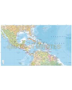
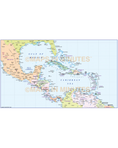
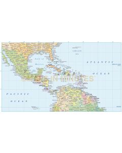
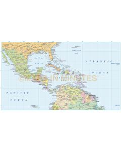
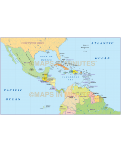
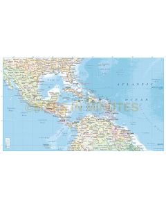
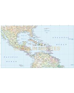
C America Political maps

A selection of Central America Regional maps (A4 up to A3+) in various projections. As these are vector maps the high quality will remain whatever size you use them. Fully layered and 100% editable including editable font text. Sets of maps are available within the World Map Collections category which offer significant savings per map.